
General Photo and Video
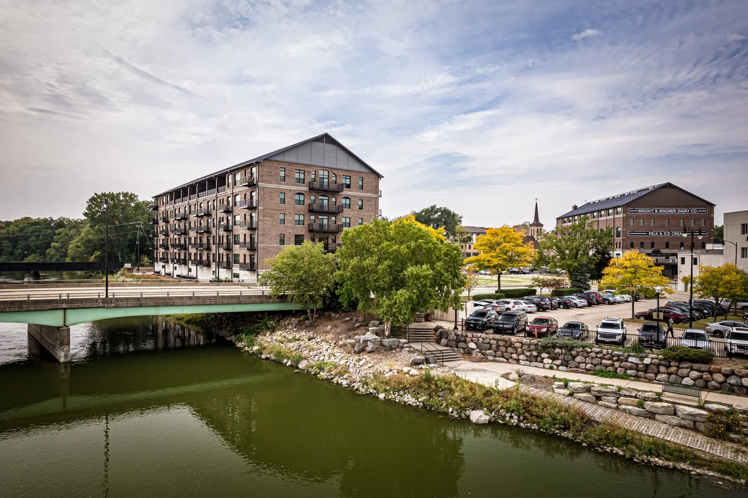
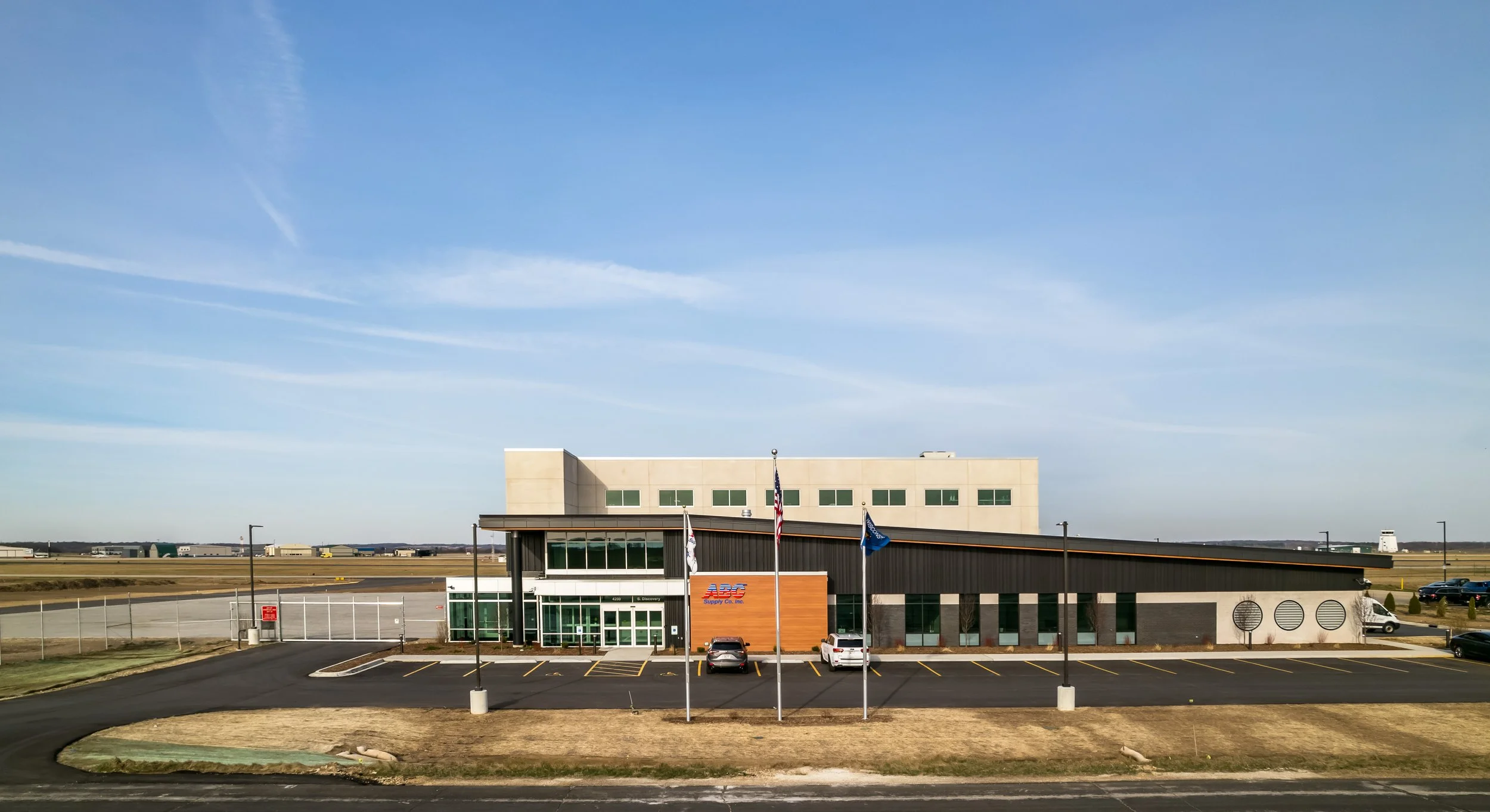
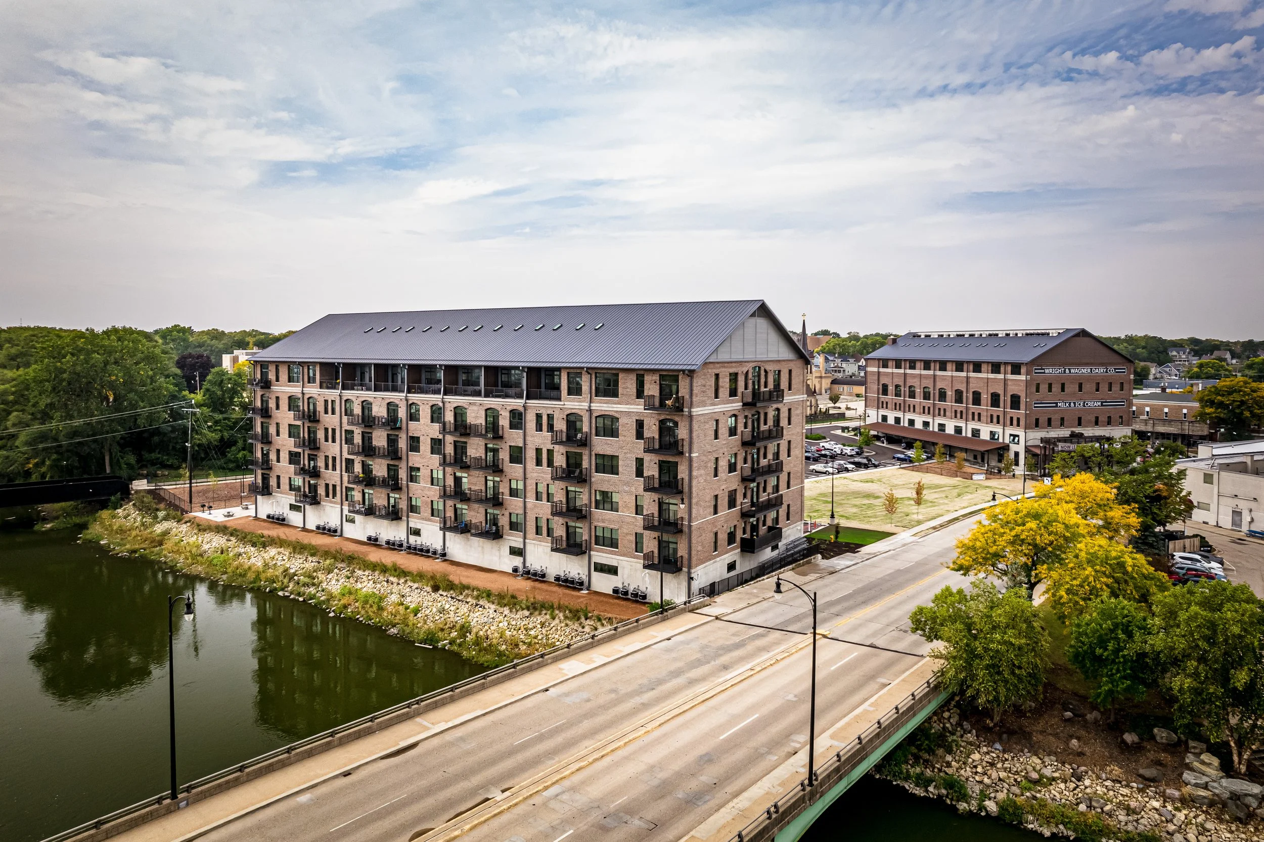
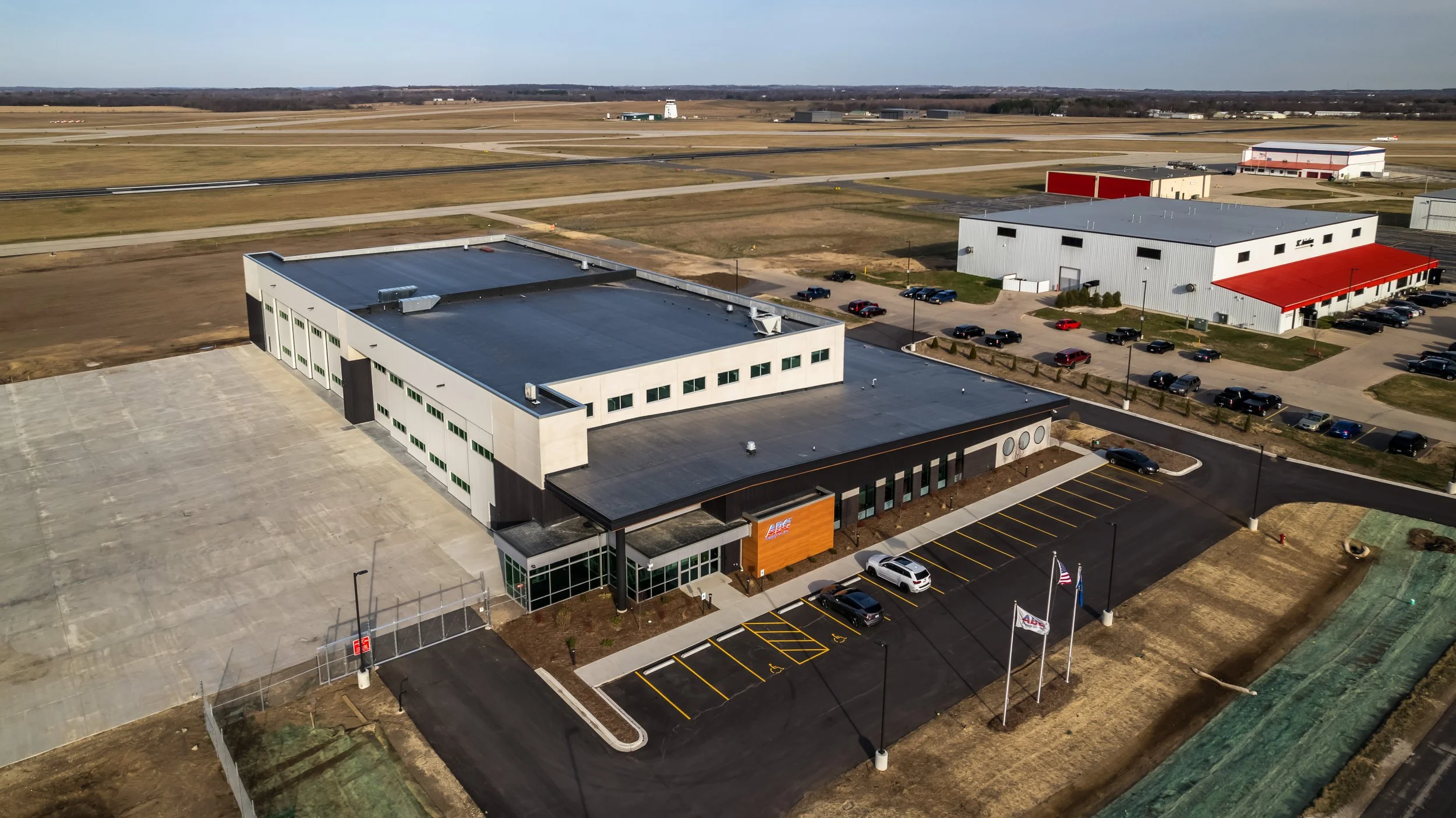
Real Estate
Commercial


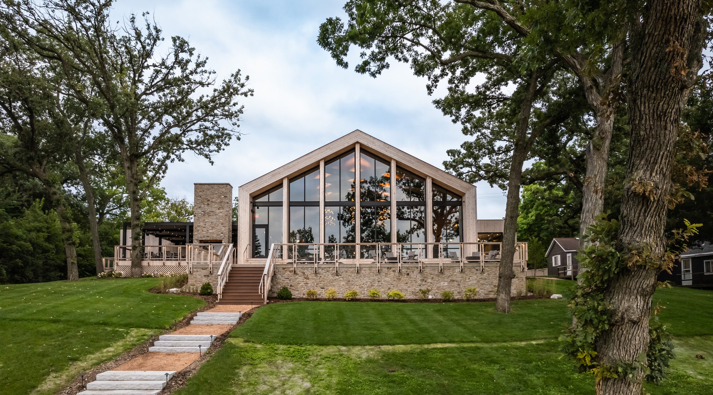

Residential


Roof and Facade Inspections, Mapping, 3D Modeling, Site Monitoring and Inspections
Roof and Facade Inspections, Construction Site Mapping and Inspections and so much more. Drone data captures are an efficient and safe way to reduce costs and view/inspect a property from the comfort of your office.
Speed
Drones can capture hundreds or thousands of high resolution images in a fraction of the time it would take to manually survey the ground. Speed is especially increased in areas of rough terrain where ground surveying would be difficult, if not impossible.
Improved Safety
No need to send teams out in dangerous terrain or using equipment to get in those high locations, dangerous landscapes, or icy areas. Access your data from the safety and comfort of your office.
Reduced Cost
Drones can capture data quickly. Quick data capture and the reduction of safety concerns inherently reduces costs.
Data Quality
Drones capture thousands of measurements and hundreds or thousands of high resolution images each scan. Using this data, we can provide high quality maps and images for use in a variety of scenarios.
Slope and Distance Measurements

Elevations and Land Surveys

Roof Inspections
Facade Inspections


Analyze Plant Health
Site Monitoring/Inspections
Stockpile Analysis
Cut and Fill Measurements
Volume Measurements
2D Maps and 3D Modeling
Any other Photography and Videography Captures